| Hiking top |
| Lifestyle |
| Health: KeepForties |
| Novel: Dancing in Roppongi |
| Salsa dancing |
| Tennis |
| Tokyo history: Roppongi, Shinjuku, Shibuya |
| Business |
| Book: B2B Selling in Japan |
Arrange a hike yourself
If you have never hiked before, please first read
the page on Preparations, listed in the menu at right. You put your health and safety at risk if you do not
prepare sufficiently.
A key point is whether someone else is organizing / guiding the hike you go on, or you are arranging it yourself. You may think, "I don't speak / read Japanese, so I can't arrange it myself". Japanese language ability is certainly helpful, but it isn't an absolute requirement.
Two aspects to consider:
- the planning
- the actual hike
Planning
If you haven't hiked at all, or not hiked in Japan, first gain
experience by going on several hikes organized by others. Pay
attention to what you see, and ask the organizer how he/she did things.
With that on-the-trail foundation, you'll then be much more ready to
arrange your own.
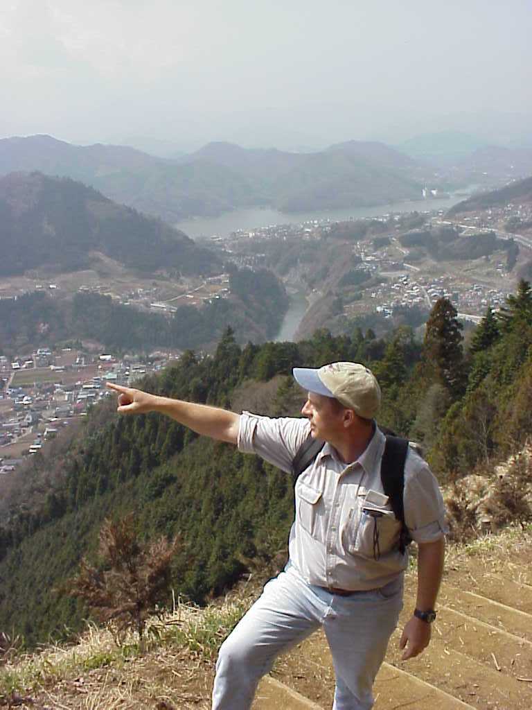
The focus here is on day hikes from central Tokyo. Namely, leave
(usually by 8 AM), hike, and return (usually by 5 PM to 7 PM) in one
day. Access is by train and sometimes bus; car usage is not covered.
Ideally, the hike starts and ends right at a train station.
On other pages of this web site, we give an overview of the main areas that fit this parameter. We also provide more details about a batch of hikes, and a few scanned maps that we used. You can find other possible hikes in the English-language books that we mention.
Understanding the basic geography of the Kanto district (the area within about 150 kilometers around Tokyo) will greatly help you in identifying and planning hikes. That includes being able to understand maps.
Information available in English is only a small part of what is
published in Japanese. If you have a Japanese friend willing to help go
through the numerous guide books in Japanese, you'll have a much larger
choice. These guidebooks have lots of photos and maps. By
understanding Kanto geography and Kanto maps, you'll be able to place
hikes in their positions in the area, even without being able to read
the text.
You should then find the 1:25,000 map(s) for the hike you've targeted, and lay out your route on these. Knowing the Kanto geography is very helpful for pinpointing the map you need, among the hundreds in the file drawers. Alternatively, you might ask the staff at the bookstores to help you find the relevant map(s).
For other aspects - train schedules, weather, etc - go to the pages on the menu at the right.
Doing the actual hike
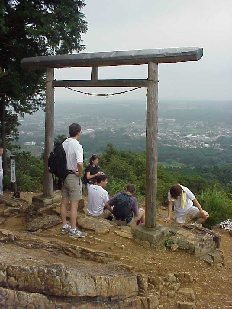
Caution: to be prudent (and probably have more fun), go with at
least one other person. You might fall and be injured, and two+
heads may be better than one when puzzling out the trail.
OK, you don't read Japanese. But you can compare the 'kanji' (Chinese characters) on the maps and other info, against what you encounter along the way. The Japanese have been traversing these trails for decades, maybe centuries - the trails are almost always well defined, with signposts at all junctions. By paying close attention to these signposts, and comparing the 'kanji', you can identify the trail on the ground that matches your plan on the maps and info you've prepared.
Moreover, if you wait a bit, other hikers will come along (especially on weekends and holidays). They will be Japanese, and using extremely simple English and pointing at relevant items with expressive hands, you can get them to confirm which way to go. They can't do a full-blown conversation, but almost everyone can understand a one-word "Iwato?" (or wherever you need to go) with the questioning tone at the end, coupled with pointing,
What if you get lost? (maybe you got to chatting with the friend(s) and overlooked signposts...) Suggestion #1: compare what you can see with what is on your 1:25,000 map - ridges, steepness of slopes, long-distance power lines, etc.; orient yourself using the sun; estimate how far you have moved since your last clearly known point. Suggestion #2: backtrack to the last junction you do remember; if you are on the descent, going upslope will usually, eventually, get you back to the summit. Suggestion #3: wait for other hikers to come by.
We hope the information here, helps you enjoy hiking and your time in Japan. If
so, Pay It Forward - help someone else, in some way, in the future.
Hope you enjoy your hikes !
Click on these pages to go to more details: